When we’re planning a vacation, we often say we want to get away from it all. That “all” might be work, responsibilities, or stress, but it also may be the hustle and bustle of cities. If you’re looking for the perfect spot to simply enjoy nature’s beauty and calming effect, it’s time to look at the northwest coast of Ireland. There is a beautiful trail that might just change your perspective with its serene landscape and atmosphere regarded as one of the most isolated places in Ireland. In fact, Tourism Ireland’s Instagram account calls this place “the edge of the world.” The Erris Head Loop in County Mayo, right on the coast, is a beautiful 3-mile trail that is just challenging enough to burn off some of the stress you’ve been carrying, but easy enough that it’s considered kid-friendly.
The Erris Head Loop sits on the Mullet Peninsula, about 6 miles north of the village of Belmullet. The area is part of the Wild Atlantic Way, a 1,600-mile route that goes from Kinsale in the south of the country, past the stunning yet dangerous Cliffs of Moher, all the way to the Inishowen Peninsula in the north. However, if driving the entire route isn’t your plan, the easiest place to fly into for the hike is the Dublin Airport. Then it’s about a four-hour drive to Belmullet. (Remember that you’re driving on the “wrong” side of the road in Ireland when you rent a car.)
All about the Erris Head Loop hike in County Mayo
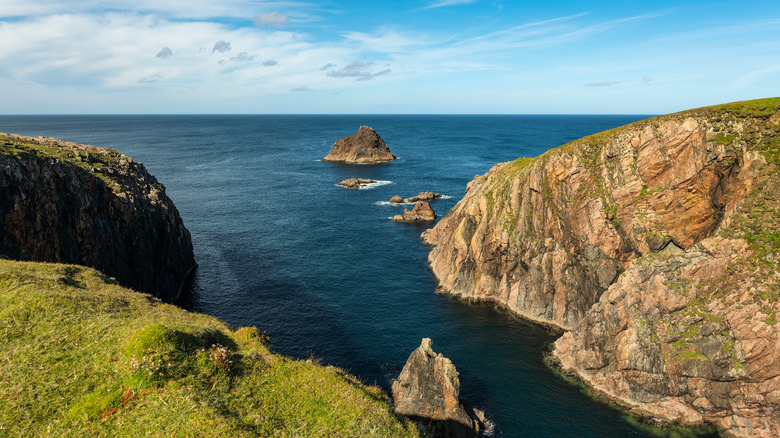
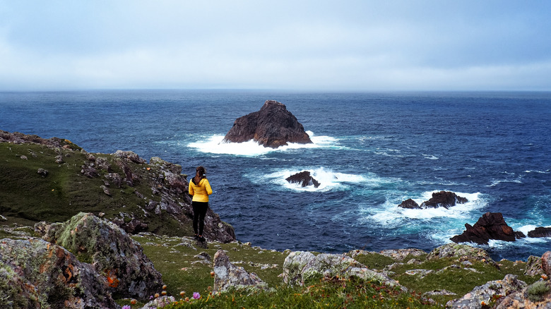
The Erris Head Loop is best done between June and September, and it’s a good idea to wear waterproof hiking shoes. The area can get a little wet and boggy, particularly in the second half. It’s windy as well, so if you have long hair, tie it back and dress for warmth. This is a well-marked trail, with black posts that have purple arrows for directions. It begins at the Erris Loop carpark, with space for up to eight cars. It’s also a good idea to bring some water and snacks, as Belmullet is the closest place to find shops, pubs, and places to stay. Right from the parking area, you’ll cross over a stile (fence crossing) to enter a field, and then follow the earthbank path around the cliffs, with views of the Atlantic Ocean, islands, and arches that will take your breath away. You’ll pass an old watch station, a view of Illandavuck Island, the Dún Bristle sea stack, and the Ooghwee Inlet. You’ll also spy a 1939 WWII coastal watch sign and lookout post, which is number 62 of the 82 signs and posts along the Irish coast.
You’ll cross over a footbridge at one point, and you might want to bring binoculars as you may spot some bottlenose dolphins, porpoises, and seals in the water. On land, you may see some hares and Irish cows. This path goes gradually uphill, with a 528-foot overall altitude gain. It’s popular, but you’re not going to be battling crowds, so you can just breathe in the beauty and the salty air. You may even see nesting birds as this is a conservation area. Make sure to pack in and pack out, especially if you bring a picnic lunch with you.


