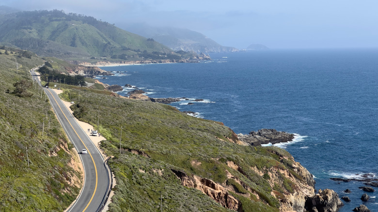
Ah, Big Sur — the section of Californian coastline that rivals Italy’s Cinque Terre, Bali’s cliff-ringed Bukit Peninsula, and the historic and beautiful shores of Dorset and Devon in southern England. To put it another way: This is one of the most iconic stretches of coast on the planet. It’s not for nothing that the drive down this 90-mile run of the Pacific Coast Highway from Monterey to San Simeon is among the bucket-list draws of America. It starts strong, too, as one of the first pitstops as you travel from north to south is the spectacular Garrapata State Park, where the mountains crash into the ocean in grand style.
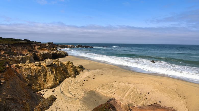
Garrapata State Park spreads out to the east and west of Highway 1, offering access to wild, wave-bashed beaches on one side and trails that lead through ancient redwood groves to lookout points in the mountains on the other. Getting here is simple. Just drive south from Monterey through Carmel for about 11 miles. There’s no visitor center, but you’ll see multiple turnouts with free parking along the west side of the highway. Each offers access to various trails and beaches, so pick your spot accordingly.
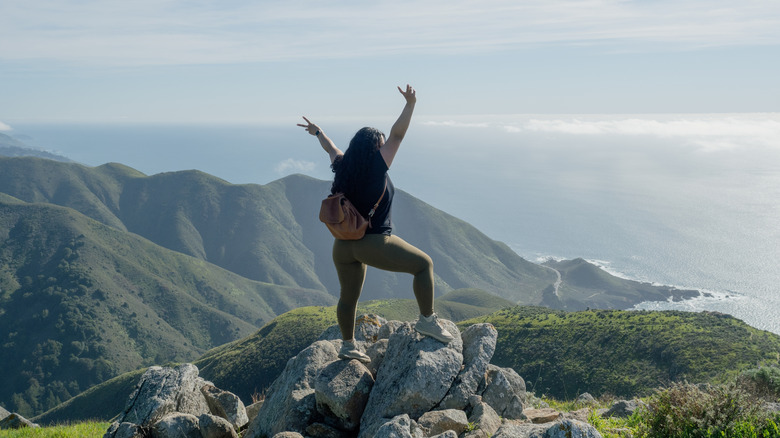
Talking of trails and beaches, there really is a mix of things to do here. Ocean lovers can branch off to wander the rugged headlands of Soberanes Point. Beach buffs can drive to the southern end of the park to find the namesake state park beach, two miles long and often inhabited by sealions. Dedicated hikers can pierce inland, through the redwoods and up to high meadows with sweeping 180-degree views of the Big Sur.
Hiking your way through Garrapata State Park
Taking to the trails is, without a doubt, one of the best ways to explore Garrapata to the full, often without the crowds of other more popular reserves along the Big Sur stretch. There are both inland and coastal trails on offer, with loops that range from easy clifftop paths to more challenging day hikes into the Santa Lucia mountains.
Looking to give the hamstrings a workout? Take the trailhead on the east side of the highway to join the Soberanes Canyon Trail. It runs for 2.7 miles, passing through stands of ancient redwood trees before emerging into an open valley laden with springtime wildflowers and spikey cacti. The route skirts a little creek the whole way, eventually topping out 50 feet above the coast, but there is an extension that can take you higher, up to Doud Peak, making it 6-mile circuit that offers panoramas of Big Sur below.
If you prefer something a little easier, the Garrapata Bluff Trail could be perfect. It clocks up just over a mile in all, weaving along the coastline beside turnout 7. Along the way, you’ll spot a gushing waterfall emerging from Sobranes Creek and be wowed by Painters Point, a lookout where waves lash against arrowhead rock formations.


