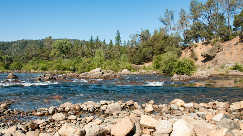
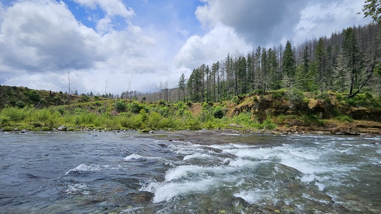
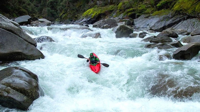
Gold Country is known for outdoor recreation, but not every noteworthy lake or reservoir is on the metaphorical map. California’s American River offers countless opportunities for water recreation across the state, to be fair, and exploring them all would take a long time. Yet there happens to be one paddler’s paradise along the South Fork American River that’s worth trekking to on a day trip.
Outside Camino, California, about an hour’s drive from Sacramento, and just past Placerville, a classic Gold Rush city, is one magical part of the Eldorado National Forest. The Eldorado National Forest spans a large area of the Gold Country, from Calaveras to El Dorado County, butting up against the Desolation Wilderness near Lake Tahoe, a glistening wilderness of granite peaks and lakes. Right at the western edge of the Eldorado National Forest lies Slab Creek Reservoir.
Slab Creek Reservoir flows inside a dramatic canyon that stretches for over 4 miles, creating the perfect conditions for kayaking, paddle boarding, canoeing, and other forms of human-powered water recreation.
Getting to Slab Creek Reservoir (and into the water)
You’ll need to follow the winding Slab Creek Reservoir Road to get to the western access points along the reservoir. The views along the way make the drive worth it. Like many back roads in El Dorado County, the road (and others that grant access to Slab Creek) is flanked by forest. While spring is a picturesque time to travel in the area, knowing the conditions and checking for road closures will help you avoid travel pitfalls.
If you’re bringing a kayak or paddleboard, one access point (according to SMUD, which manages the reservoir) is at the west end. This boat launch is off of North Canyon Road (along Slab Creek Reservoir Road). Another option is the Slab Creek Reservoir boat ramp on the Pollock Pines side (at the eastern end), off Forebay Road. All launches are only for human-powered craft, but kayakers note that in some locations, the deep water means a hard launch is the only option.
Before you head out to Slab Creek, check the reservoir conditions for an idea of the elevation and weather. SMUD provides a real-time air temperature as well as the reservoir level. In some conditions, various gates along the reservoir will be locked for safety reasons, but lower elevations generally mean more accessibility.


