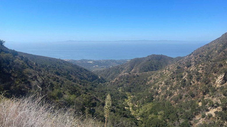
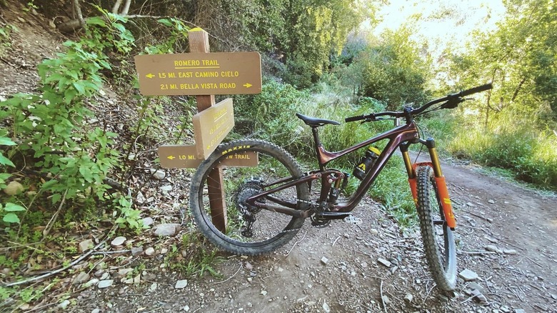
Located about 9 miles northeast of Santa Barbara, one of Southern California’s most under-the-radar trails follows a winding path into the towering Santa Ynez Mountains. The arid landscape features sycamores, oaks, chaparral shrubs, and other native plants, offering stunning views of Montecito and the shimmering Pacific Ocean. The Romero Canyon Trail measures 14 miles out-and-back with a brutal 3,300-foot elevation gain. However, if you ask a local how long the trail is, you’ll likely get answers ranging between 3 and 14 miles. This is because the Romero Canyon Trail can be broken down into many shorter, more manageable trips.
This scenic trail leads high into the mountains and through canyons before ending at a water tank along East Camino Cielo. Here, hikers can rest by the graffiti-covered tank, recouping energy for the thigh-burning descent back down. The first 2 miles of the trail follows a shaded, year-round creek with small but gorgeous trickling waterfalls, then gives way to several miles of switch-backs and backcountry paths.
If you aren’t up for the full trail, one of the most popular loops measures 7.5 miles roundtrip. It starts by following the creek and then switch-backs before gifting hikers awe-inspiring views from the Santa Ynez Ridge. Other loops stick to the main trail and then join Romero Canyon Road (an old fire road) for a quick and easy way back down. The Romero Canyon Trail is best for mid-level hikers or families with teenage children, but it’s not as difficult as the Vivian Creek Trail, a tough hike to Southern California’s tallest mountain.
The best time to visit and other tips for hiking the Romero Canyon Trail
The best time to hike the Romero Canyon Trail is during the spring months (March and April) when wildflowers cover the hills and the temperatures are less extreme. During the summer, it’s often too hot to hike beyond the shaded areas along the creek, but the spring and winter months are ideal for conquering the full 14-mile out-and-back Romero Canyon Trail. Although the Romero Canyon Trail is popular with hikers and trail runners, it’s also a well-known mountain biking route. Because of this it is important for hikers to be aware of bikers and vice versa. Most bikers wear bells and will try to alert you of their presence, but you should still stay vigilant. Pedestrians have the right of way, but bikers descending quickly down the hills might not see you. This is why listening to loud music or wearing headphones is not recommended. Usually, you’re most likely to encounter mountain bikers on the fire roads that cut across the trail.
Before starting your adventure, consider downloading a trail app and enabling offline mode. The reception is spotty in the area, and a map will help you stay on your desired path. Alternatively, if you decide to shorten your hike, you can use one of the fire roads to guide you down the mountains. Local hikers also recommend keeping an eye out for poison oak (there’s not too much) and wearing light-colored clothes as a way to avoid ticks while on the trail.


