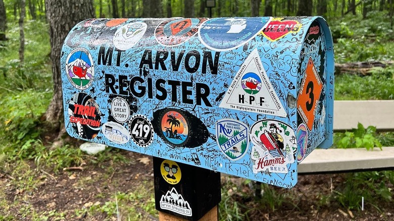
Michigan’s Upper Peninsula is the perfect place to escape into nature. Embark on a kayaking trip near underrated Munising, or head to Les Cheneaux islands for an incredible winter vacation. If you’re after a unique forest hike, make your way to the township of L’Anse and head up to the highest peak in the state of Michigan: Mount Arvon.
Standing at 1,979 feet above sea level in the Huron Mountains, Mount Arvon has been crowned Michigan’s highest point since 1982. Prior to this, Mount Curwood (at 1,978 feet) was the highest point in the state – but following a U.S. Geological Survey, modern technology determined that Mount Arvon was 11 inches higher than Mount Curwood.
The mountain is under 30 miles from downtown L’Anse in Baraga County. If you’re flying into the area to conquer this peak, the nearest major airport is Marquette Sawyer Regional Airport, about one hour and 20 minutes away by car from L’Anse, although Green Bay Austin Straubel International Airport (just over a three-hour drive away) may have better connecting flights. Either way you fly in, you’ll need to rent a car — preferably one with a bit of clearance — to get to Mount Arvon and tick off the highest point in Michigan.
Practical tips for the scenic drive to Mount Arvon
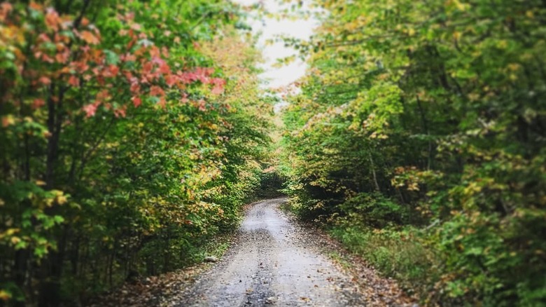
To reach Mount Arvon’s summit, drive most of the way before embarking on a short hike for the remainder of the journey. Otherwise, you’re looking at an 11-mile hike up the Mount Arvon Trail. Nowadays, most people drive to Mount Arvon; it’s a route that has improved in recent years, but you’ll still need to tackle an 11-mile winding gravel road in varying conditions to reach the top. As there are many logging roads in the area, getting lost can be easy — it’s important to follow the blue diamond signs along the road that mark the way to the summit of Mount Arvon. Several AllTrails users recommend using Google Maps or a GPS to navigate to Zion Lutheran Church (13511 Roland Lake Rd, Skanee), where the blue signs begin.
The road can be driven by most vehicles in dry weather with caution, although a car with high ground clearance is preferable. It can be rough, bumpy, and narrow in places; rain can turn the road muddy, making it unsuitable for passenger vehicles. The road to Mount Arvon isn’t plowed in winter, so access in the winter months is only possible by snowmobile or snowshoeing. But outside of winter and rainy weather, most passenger cars can make it to top — just be sure to drive slowly and carefully over bumps and ruts. One Tripadvisor reviewer recommends asking about current road conditions at the visitor center in L’Anse before setting off. Once you reach the end of the road, there is a gravel pit for parking.


