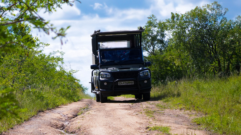
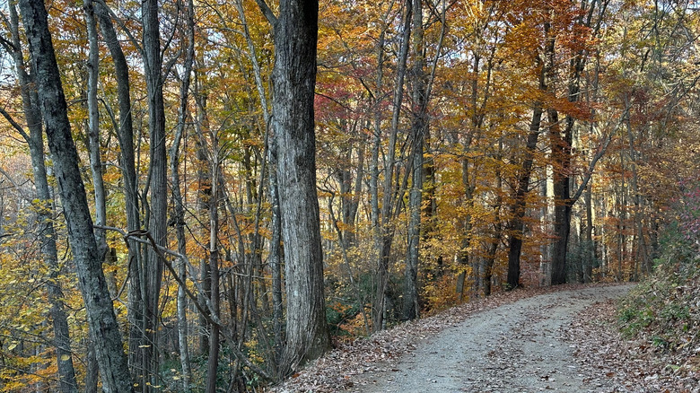
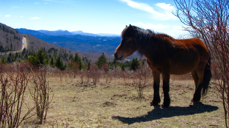
With rushing and calm rivers, stunning vistas, picturesque sunsets, and charming towns tucked into the Appalachian Mountains, Southwestern Virginia is a nature lover’s paradise. While this part of the Old Dominion State has approximately one quarter of the Appalachian Trail, many locals prefer to explore the rugged country on hair-raising UTV, ATV, or 4×4 adventures to reach the region’s unique geological features and million-dollar views.
In 2008, Virginia’s legislature created the Southwest Regional Recreation Authority (SRRA) to improve the local economy and communities in the region through outdoor recreation. The SRRA manages a diverse trail network of over 400 miles of trails through seven counties, enabling riders of all levels to feel the cool wind on their faces. Courses range from scenic dirt roads designed for street-legal vehicles to challenging climbs where you’ll likely be “sawing” your wheel. The trail networks are close to charming mountain towns, giving you a home base for the day or a place to grab some snacks and beverages for the road (non-alcoholic, of course).
If you’ve skied before, you’ll be familiar with the trail grading system; green trails are marked for beginners, blue for intermediates, and black for experts. No matter where you start from or how long you ride, all riders, young and young at heart, are required to wear a helmet and purchase a trail permit, which starts at $21 for three days. The SRRA employs trail rangers to work with local police, check permits, and issue fines for riders not following the rules, including riding off-trail.
How to ride through the Appalachian Mountains
The Heart of Appalachia is relatively easy to access from other parts of the state and the region. You can fly into the Tri-Cities airport in East Tennessee or the Roanoke-Blacksburg Regional Airport, both of which are at least an hour away. If you’ll be driving and towing vehicles, Interstate 81 runs through the heart of the region, making general access straightforward; however, the trails begin in off-the-beaten-path small towns.
One of the easiest trailheads to drive and access is the Jawbone Trail, just outside of Richlands in Tazewell County. The Jawbone is the only section that permits jeeps, trucks, and other 4×4 vehicles to take to the roads, connecting with another section, the Coal Canyon Trail in Buchanan County. Stop at one (or all) of the four pull-offs along the mostly gravel routes, especially if you spot a deer, fox, coyote, or elk, and soak it all in.
If you’re looking to rent an ATV, head for Haysi, along the Ridgeview Trail System. You’ll have over 75 miles of open and tree-lined roads and single-tracks to conquer for riders of all levels. Haysi Offroad Adventures rents side-by-side vehicles and provides guided tours as well, so you won’t have to worry about getting lost. Once you’re back in town, grab a pie at the local Pizza Factory or Pizza Plus (they have sandwiches and pasta too), or you can head to Main Street Country Kitchen for a delicious home-cooked meal. The small town of just over 500 does not have a hotel, but Southern Gap Outdoor Adventure is less than 30 minutes away, featuring a campground and five log cabins. And yes, the roads are paved.


