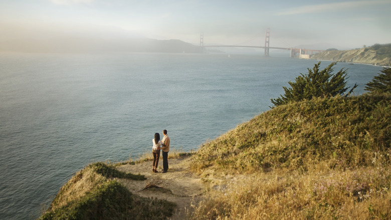
One of San Francisco’s most famous islands is Alcatraz, the former high-security prison that is now a tourist destination. But there are a number of other islands in the area that are well worth a visit. There’s perhaps none more worthy than Angel Island, the largest natural island in San Francisco Bay — Alameda is actually the largest island in San Francisco Bay, but it was made in 1902. This 1.2-square-mile island has a rich history, fantastic trails, and incredible views (depending, as always, on the fog). It’s just off the coast of Tiburon and Sausalito, the quirky houseboat community deemed the “Venice of the West.” Stopping at Angel Island is also a great side excursion when exploring California’s striking coast on a road trip down the scenic Highway 1.
To get to Angel Island, you’ll have to take a ferry; you can get one either from San Francisco or from Tiburon. The San Francisco ferry takes about 30 minutes and departs every day throughout the year from the San Francisco Ferry Building, an iconic waterfront marketplace. This is one of those places where the journey is as beautiful as the destination, offering views similar to one of the world’s most scenic ferry rides from San Francisco to Sausalito.
From Tiburon, the ferry ride to Angel Island takes just 15 minutes. It runs every day during summer, but during the rest of the year, there may only be service on weekends. Make sure to check the online schedules as you plan your trip. From either San Francisco or Tiburon, your ticket includes the state park entrance fee, and both arrive at and depart from Ayala Cove. If you have your own boat, there are day-use slips available.
Angel Island has a long history, perhaps most notably when it comes to Asian immigration
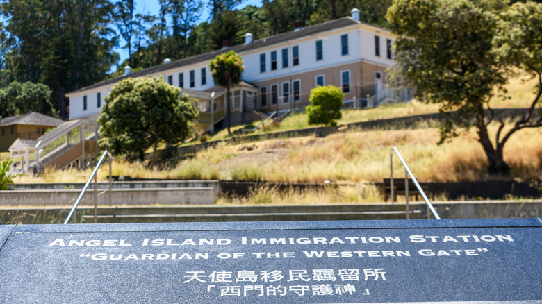
Angel Island State Park has a deep and complex history. Before European contact, the Coast Miwok people used the island for hunting and fishing at certain times of the year. In the late 1700s, the island was first referred to as Angel Island by Spanish navigator Lieutenant Juan Manuel de Ayala, who mapped the area. By the 1850s, the U.S. government established it as a military site, and it was built up during the Civil War. In 1910, an immigration center was opened on the island, which became known as the “Ellis Island of the West.” Around a million people, mostly from Asia, came to the U.S. via the island in the 30 years that it operated as an immigration station.
During World War II, the island was a temporary detention site for some prisoners of war as well as German, Italian, and Japanese immigrants. By the 1960s, it was a decommissioned military site and became a state park. Caroline Livermore was one of the women who spearheaded the park initiative, and the highest point of Angel Island is now named after her.
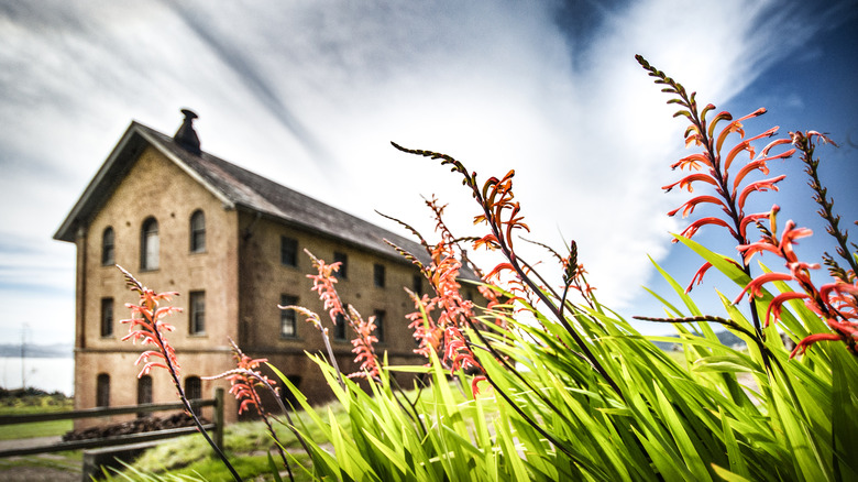
You can learn more about the island’s complicated history at the Immigration Station. It takes just over a mile hike to get to the approximately 14-acre site that features outdoor exhibits and two museums. The Angel Island Immigration Museum is free, while the Detention Barrack Museum and WWII Mess Hall have a small cost, starting at around $5 at the time of this writing. Both museums give you insight into what it was like for immigrants and detainees who had to spend time here. Angel Island State Park also has remnants of some of its other military installations, including Fort McDowell and Camp Reynolds.
Take the Perimeter Road around Angel Island State Park to see its major sights
Hiking, picnicking, and camping at Angel Island State Park
Angel Island State Park also has a few unpaved trails for you to explore. You can hike 788 feet up to the top of Mount Caroline Livermore via the Sunset or the North Ridge trails, starting from Ayala Cove. You can combine the two into an approximately 5-mile loop. A shorter trail is the Point Stuart Loop. It’s a 2-mile trail off of the Perimeter Road near Camp Reynolds, and it’s a great spot to see wildflowers during spring.
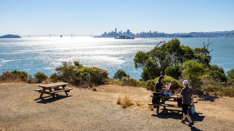
With so much to do and so many places with scenic views, it’s worth packing a lunch for your Angel Island trip. There are picnic tables around the island, including some where you can barbecue. There are also bathrooms and running water at many of these spots, so you can make a day of it. You can also get something to eat at the café near the ferry dock. It has live music on Saturdays from June to October.
If you want more than a day trip, you can camp out on Angel Island. Keep in mind that there are only 11 spots spread over four separate areas across the island. They book up quickly, so plan ahead, as reservations open six months in advance. For more unique camping in the area, you can sleep in the shadow of the Golden Gate Bridge at the Kirby Cove Campground.


