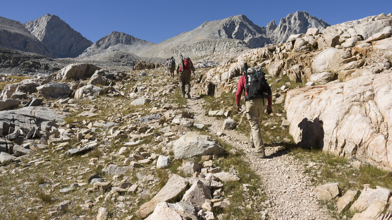
One of the longest hikes in America, the Pacific Crest Trail (PCT) winds through the wilderness from Mexico to Canada, with rugged sections in California among the most difficult of any along the 2,650-mile long trail. But this year, the trail is even more challenging than usual due to the Trump administration’s funding cuts and staff reductions at federal agencies like the U.S. Forest Service. These changes have affected partnerships between these agencies and the organization that maintains the trail — the Pacific Crest Trail Association — prompting the organization to cancel 50 weeks of planned trail maintenance in 2025, including areas in California in dire need of repairs.
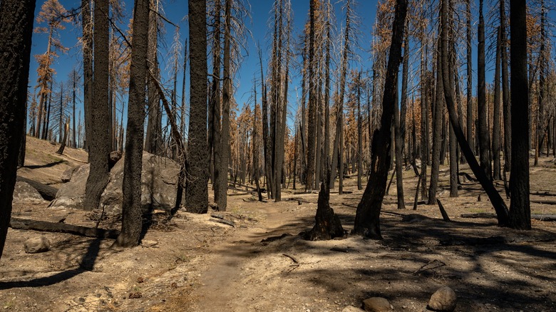
The cancellation of the planned maintenance is a sad development for anyone who loves the PCT, which is considered by many to be one of the best long-distance hiking trails in the world. In California, trail repairs are more crucial now than ever before due to increasingly erratic weather and more frequent natural disasters, which are wreaking havoc in wilderness areas throughout the state. Fierce storms and winds are causing more landslides and fallen trees, while intense heat and dryness exacerbate wildfires, which have already burned through 250 miles of the PCT. Without the planned maintenance work, damaged and obstructed portions of the PCT may remain so through 2025 and well into the foreseeable future.
What to expect on the PCT in 2025
Tips for getting the most out of your PCT hike in 2025
If you plan to hike the whole length of the California PCT in 2025, here are some tips to help you plan and carry out your adventure. Make friends with the Pacific Crest Trail Association website, which provides official information on any trail section closures as well as information crowdsourced from recent hikers on current conditions. You can also check the newly launched State of the Trail StoryMap experience page for information specific to the evolving PCT situation in southern California. As this information is updated regularly, be sure to check the website as often as you can during the planning stage and also while you’re on the trail, whenever you have cell service. If you’re just doing a day or overnight hike on the PCT rather than a multi-day trek, use the information on the website to select an optimal trail section — in other words, one that’s not only open but also reported to be in reasonable condition.
Regardless of whatever trail section(s) you ultimately choose to hike, be prepared and take some extra precautions. Definitely bring paper maps of the trail for when you don’t have battery charge or cell service, such as the set of 11 PCT map booklets from the National Geographic Maps series. Finally, build extra time into your daily hiking itinerary for route-finding in challenging areas, and know what to do if you get lost on the hike.


